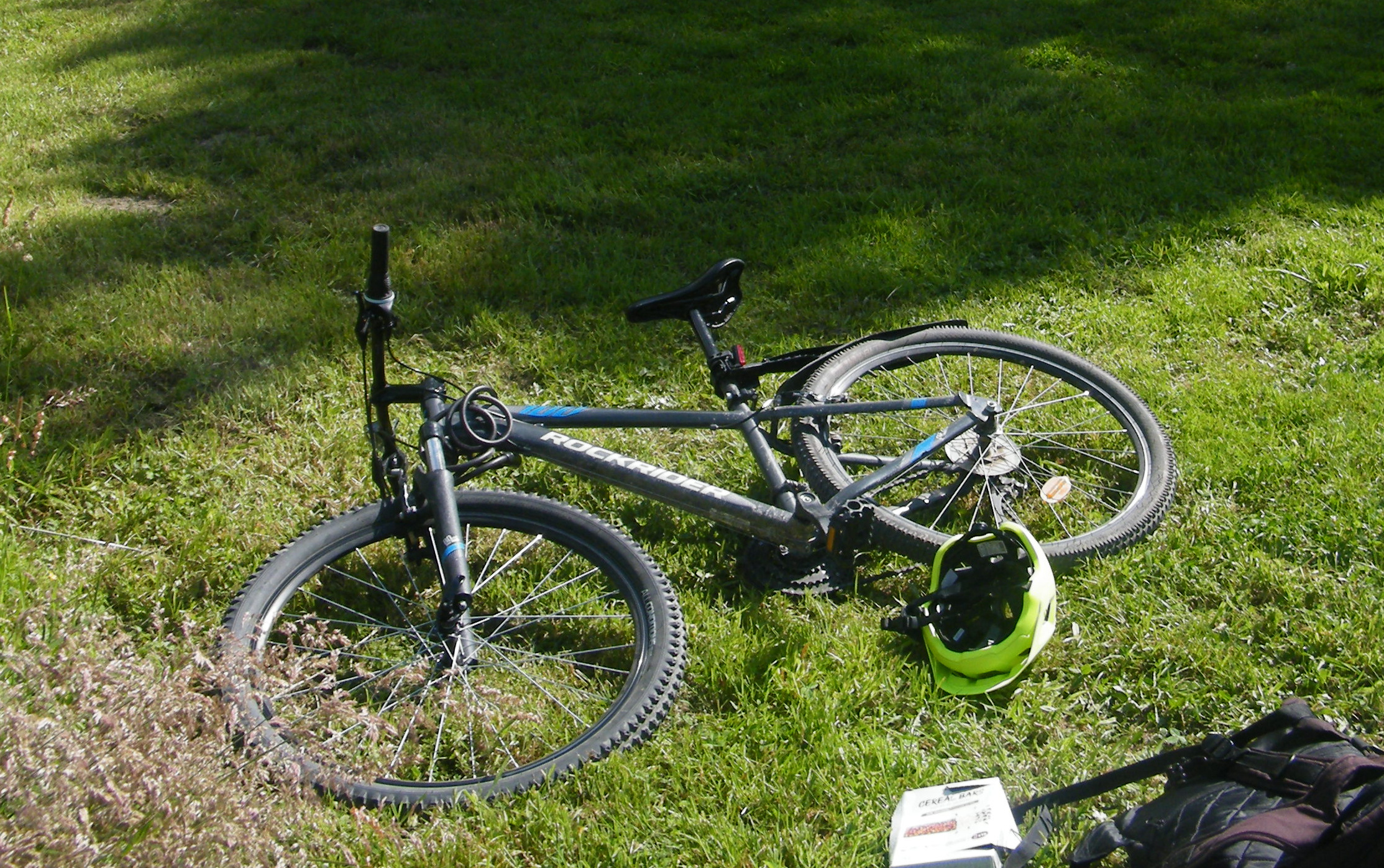
In the process of exploring my city’s growing bicycle infrastructure (the REV, or Réseau Express Vélo, Bicycle Express Network), today’s trip took place from Rennes’ station Triangle, nestled between the busy living districts of the Blosnes and Poterie, towards Vern-sur-Seiche’s park alongside the Seiche.
For once, the path itself was almost entirely correct from what routers indicated, save for a mistake near Poterie where routers believe bicycles can enter the car park to get to the bridge that leads beyond the bypass and towards Vern. Here is the corrected GPX 📎.
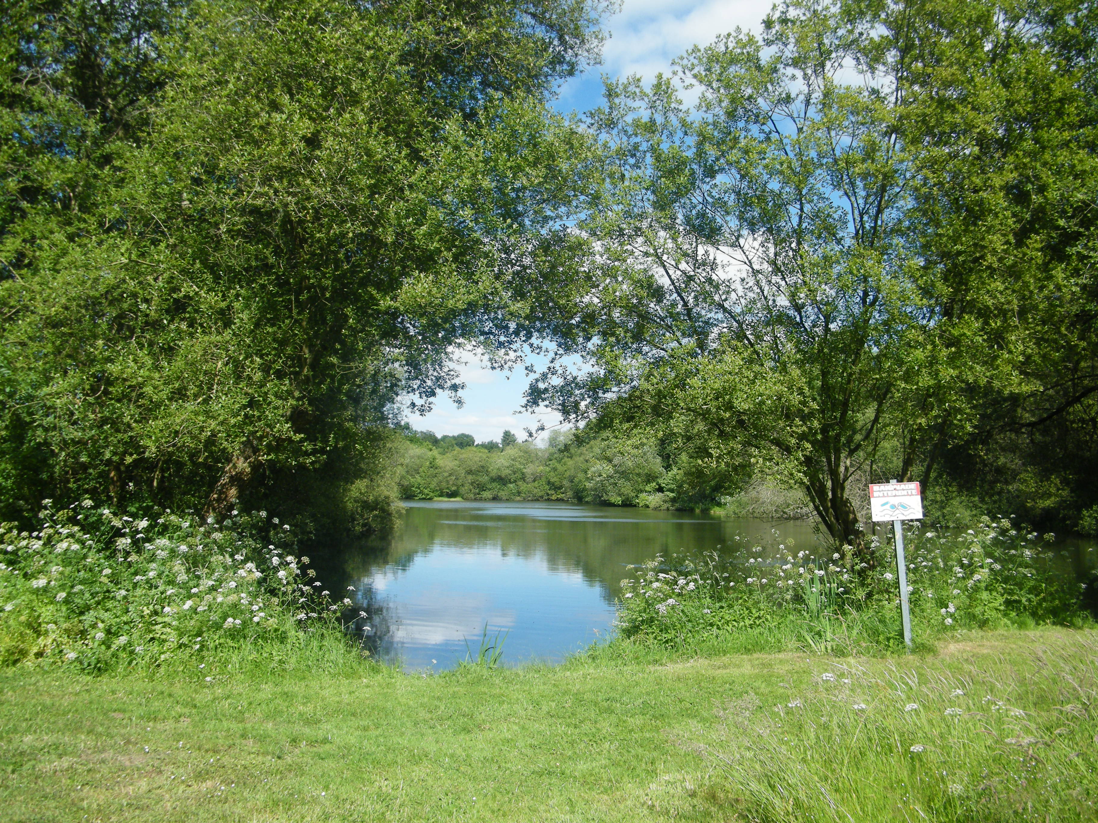
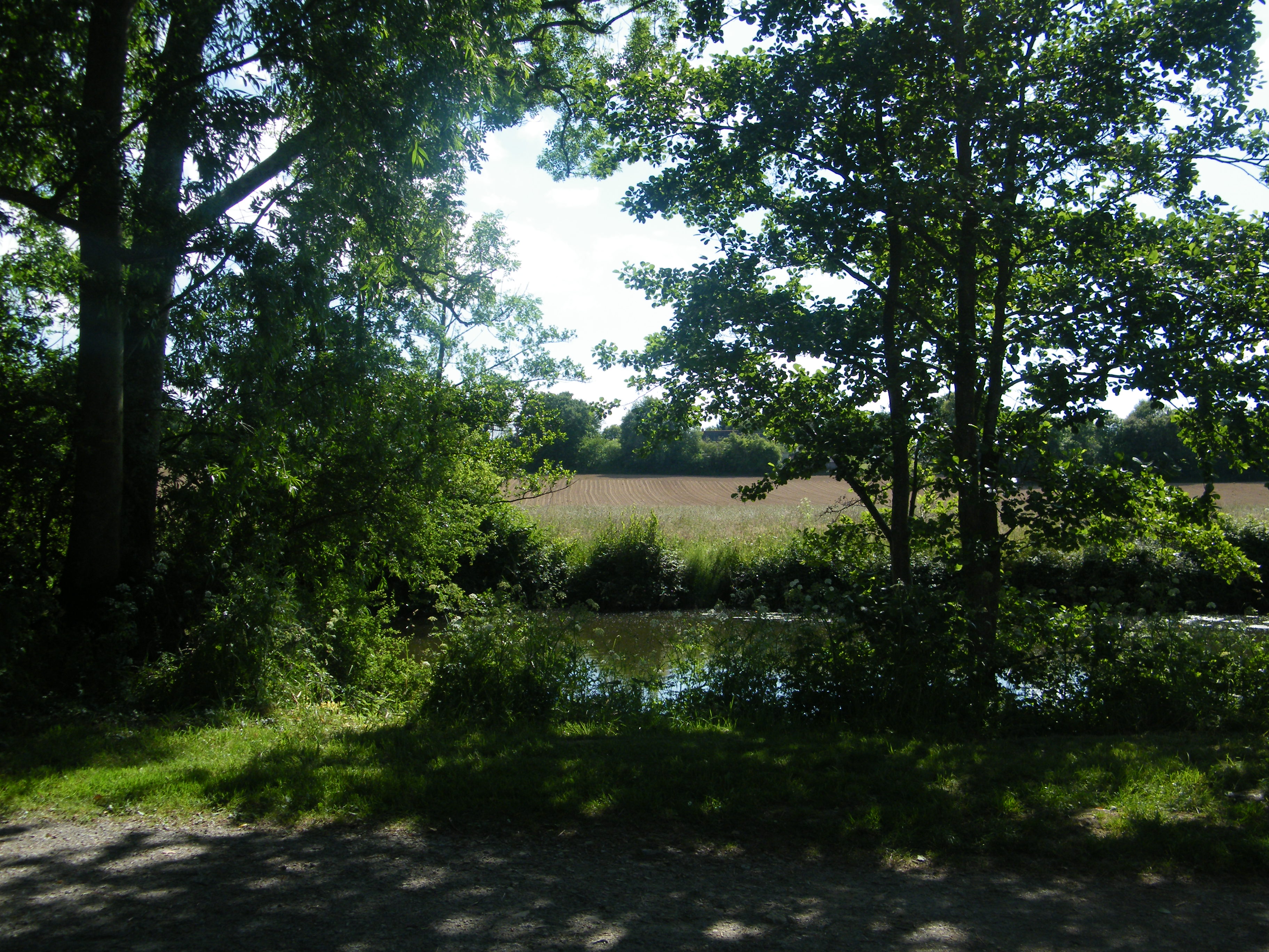
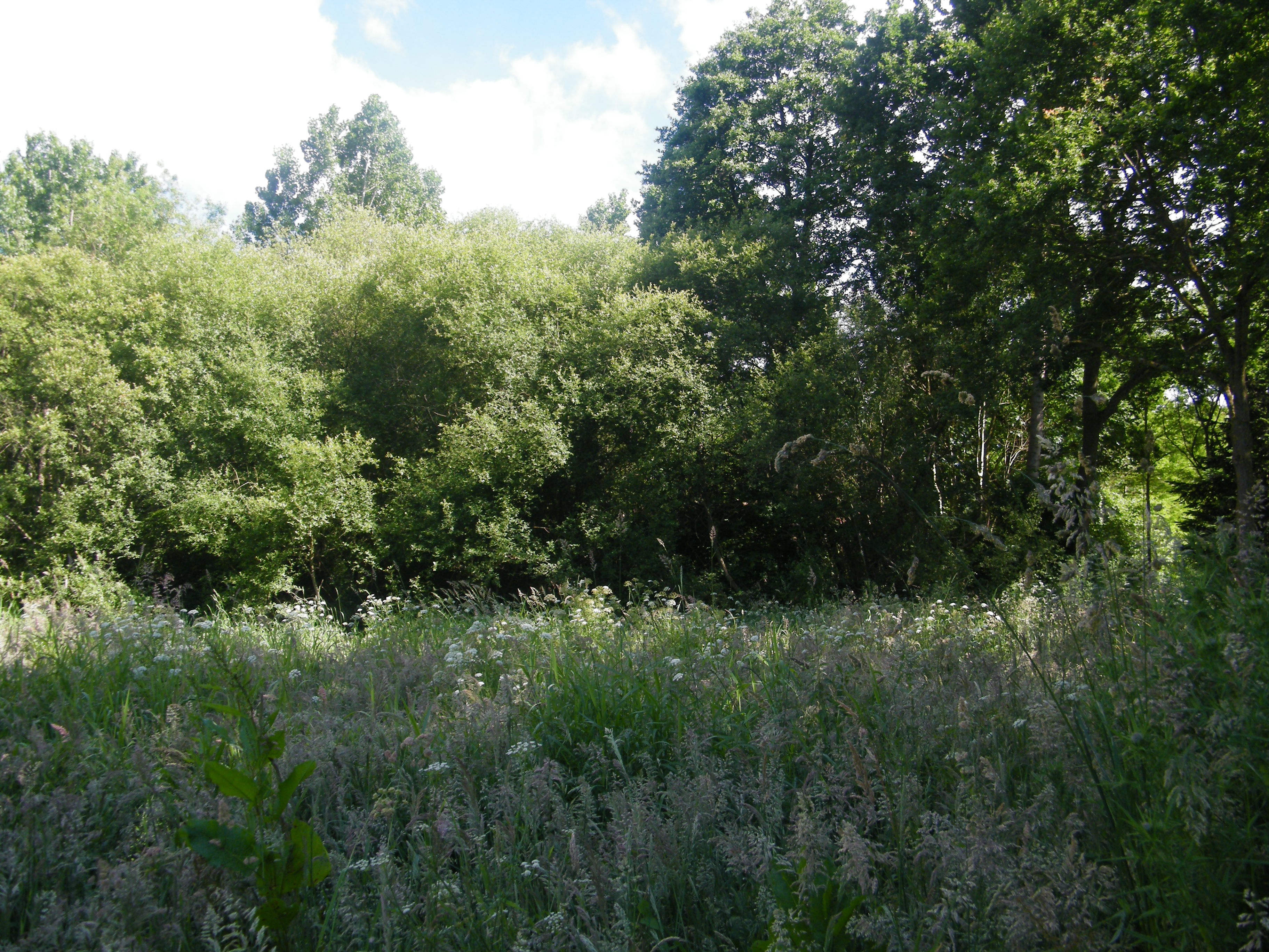
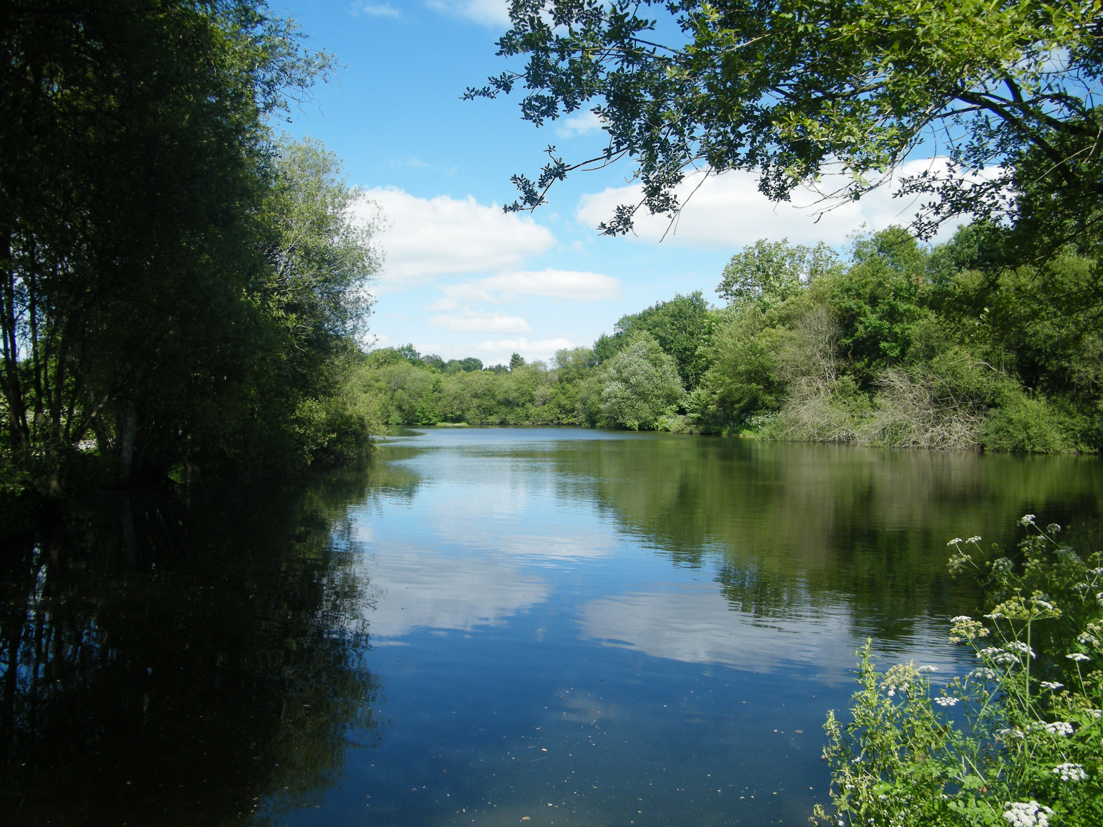
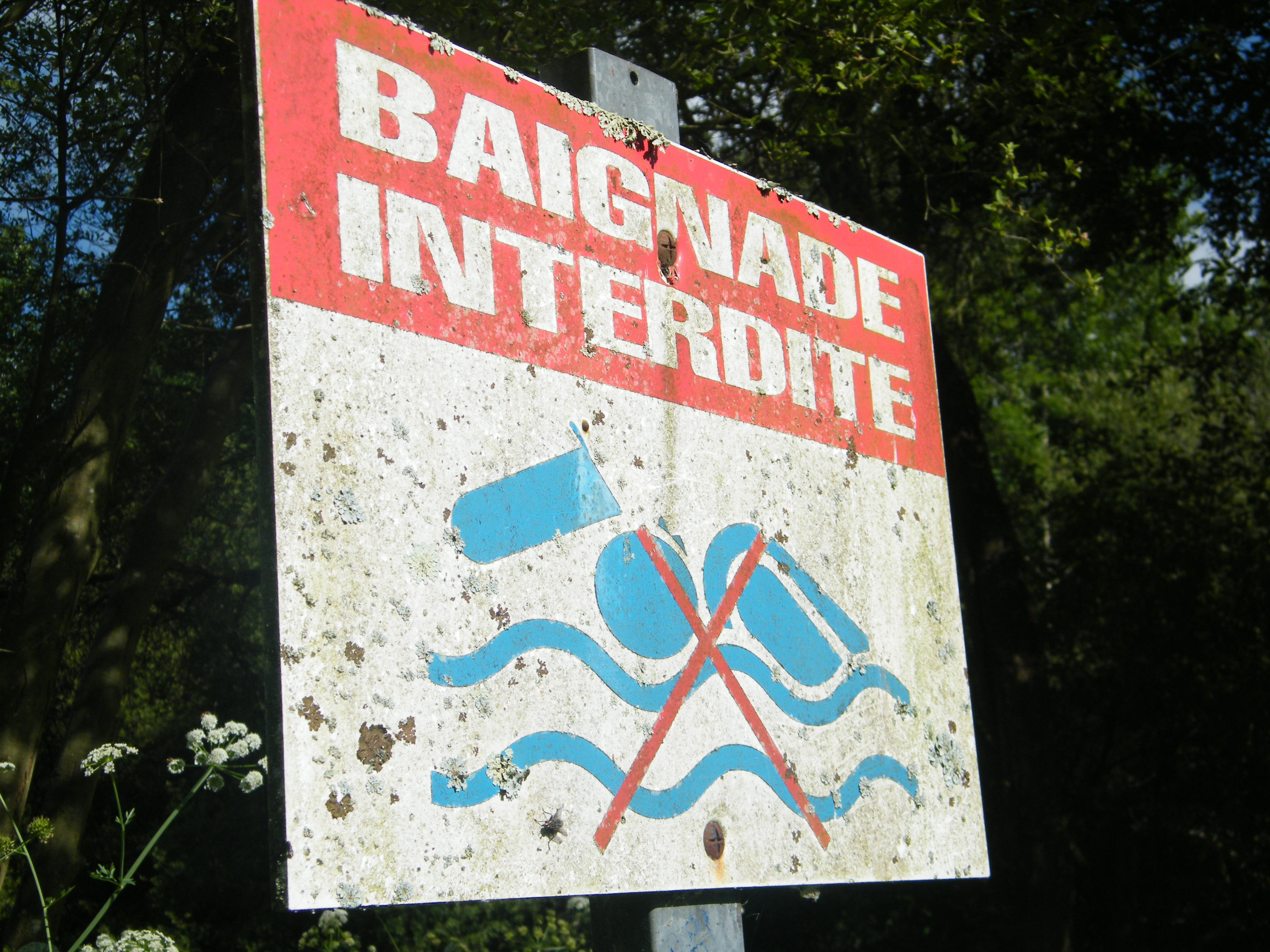
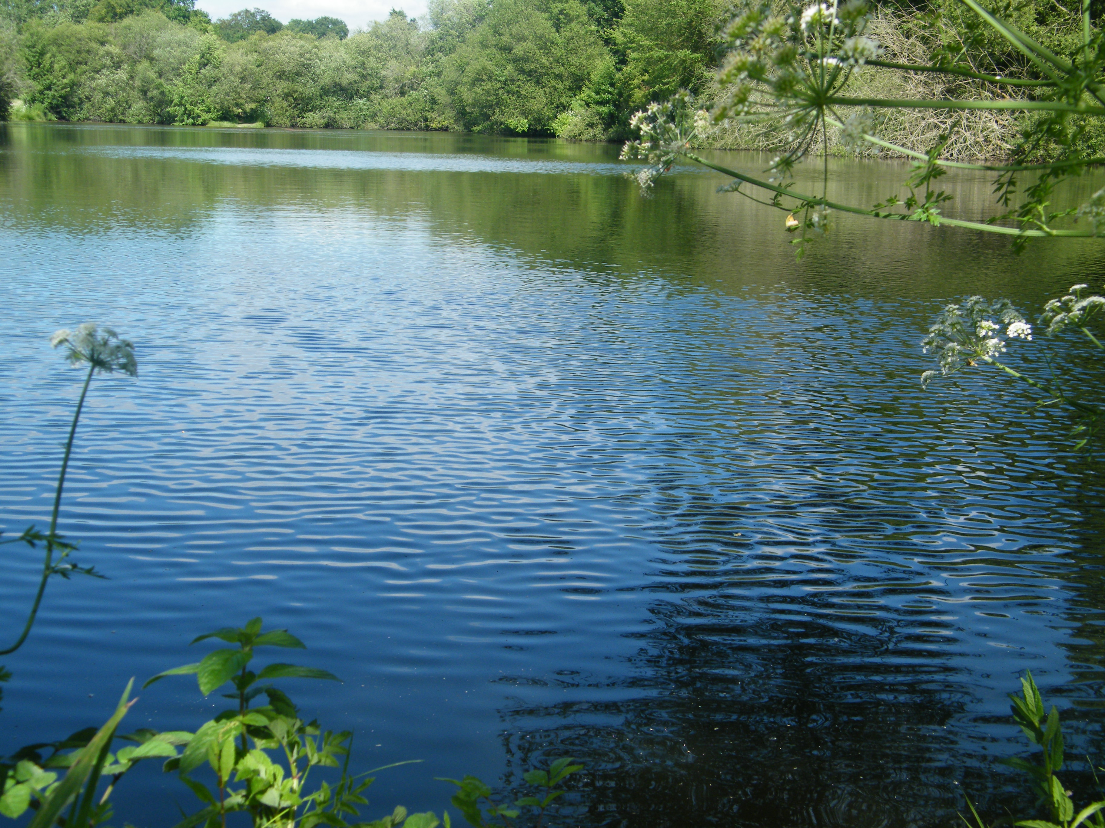
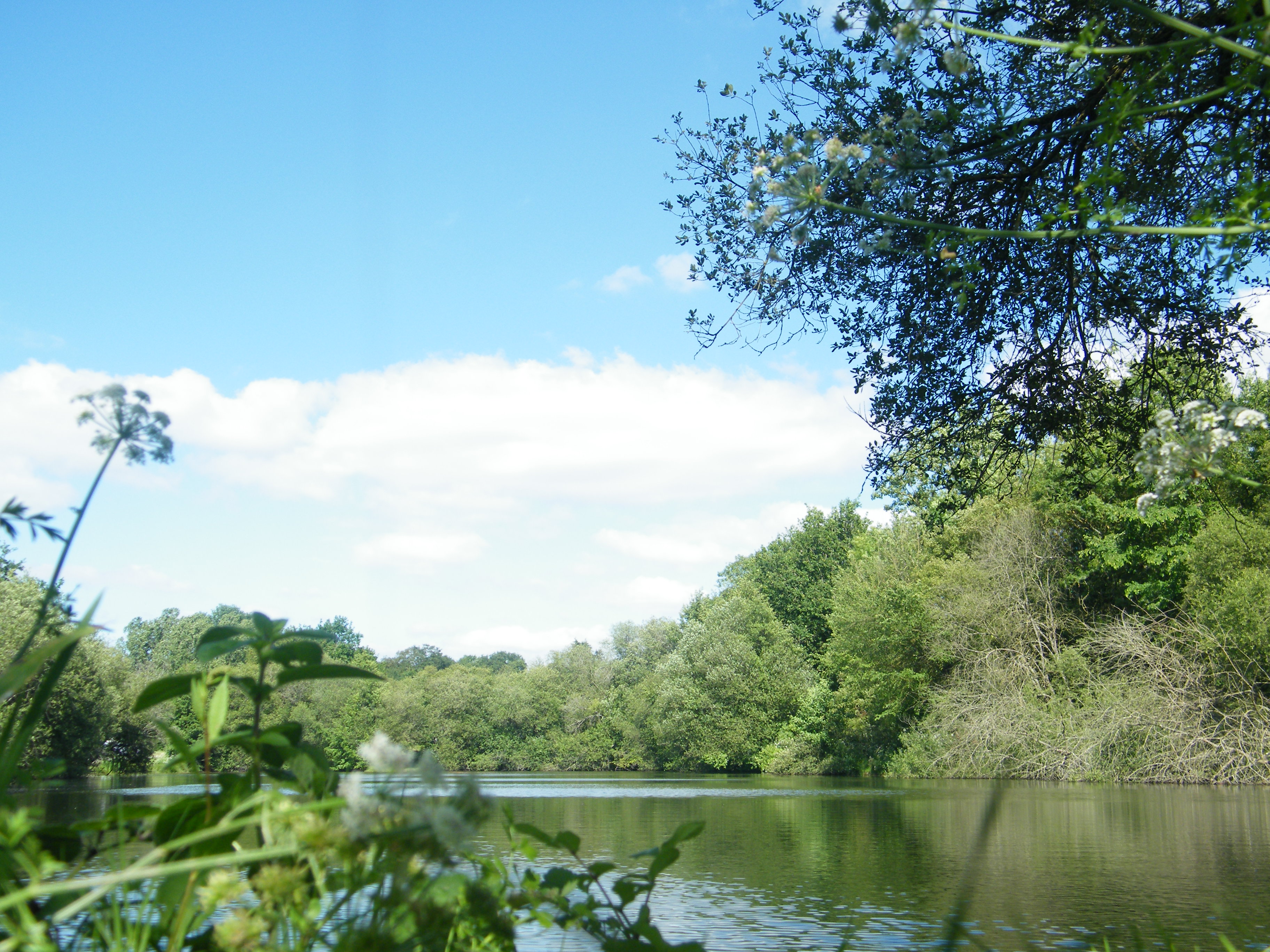
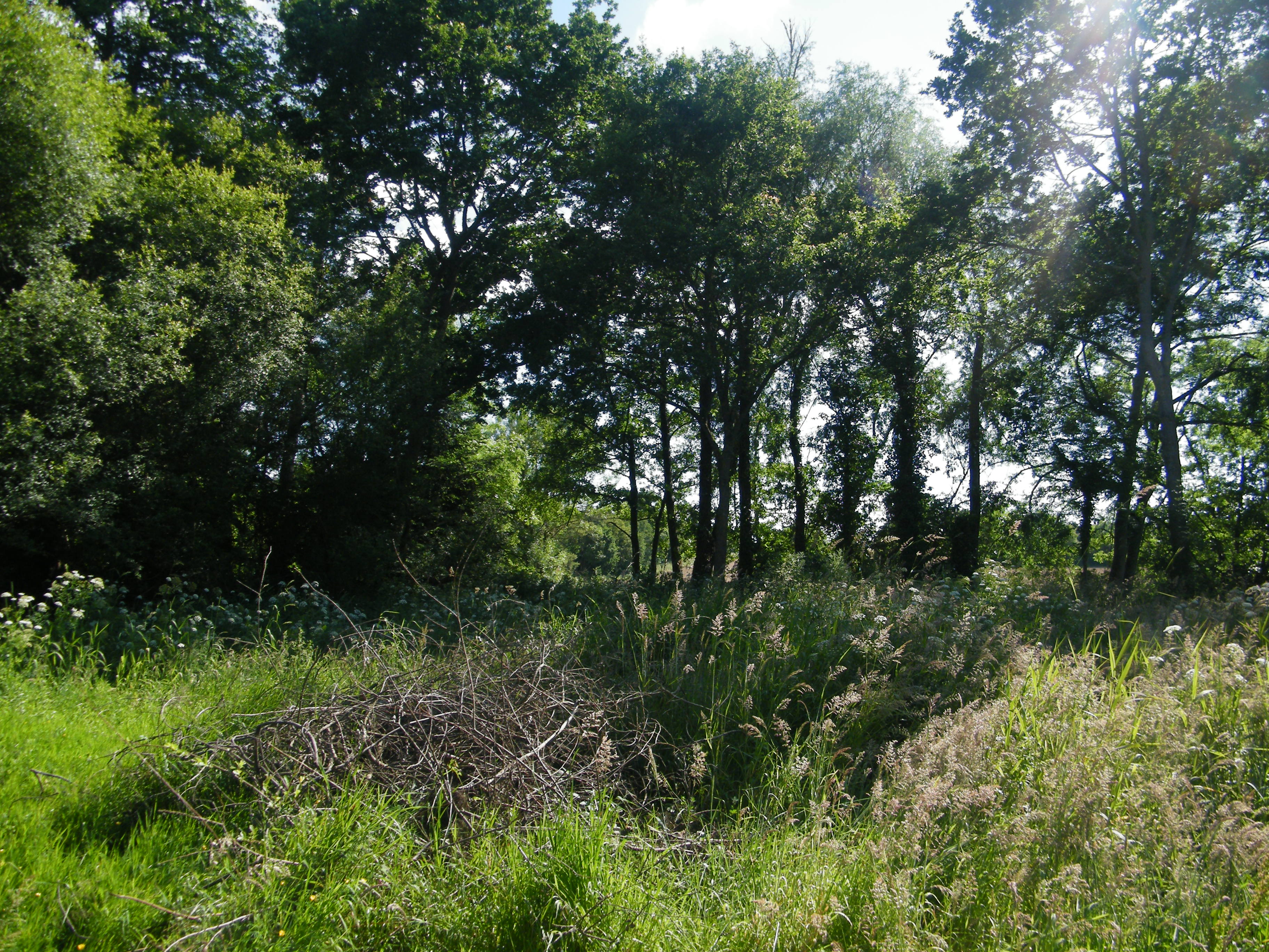
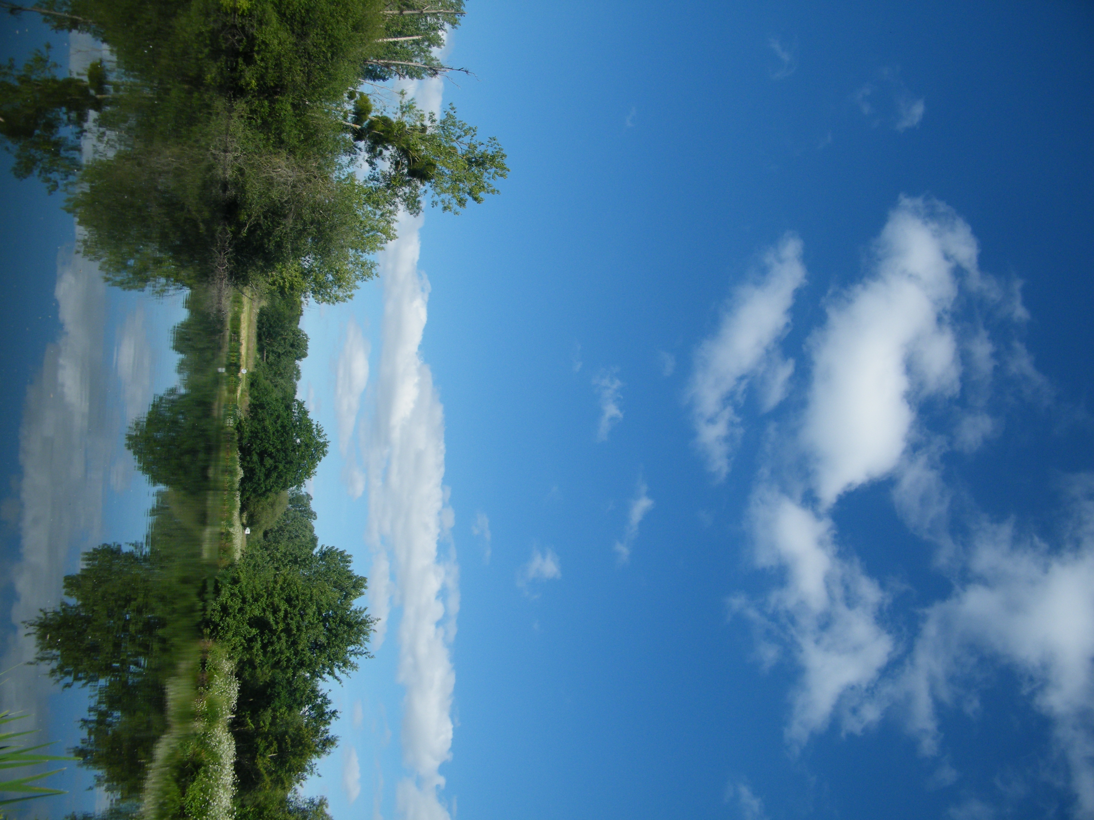
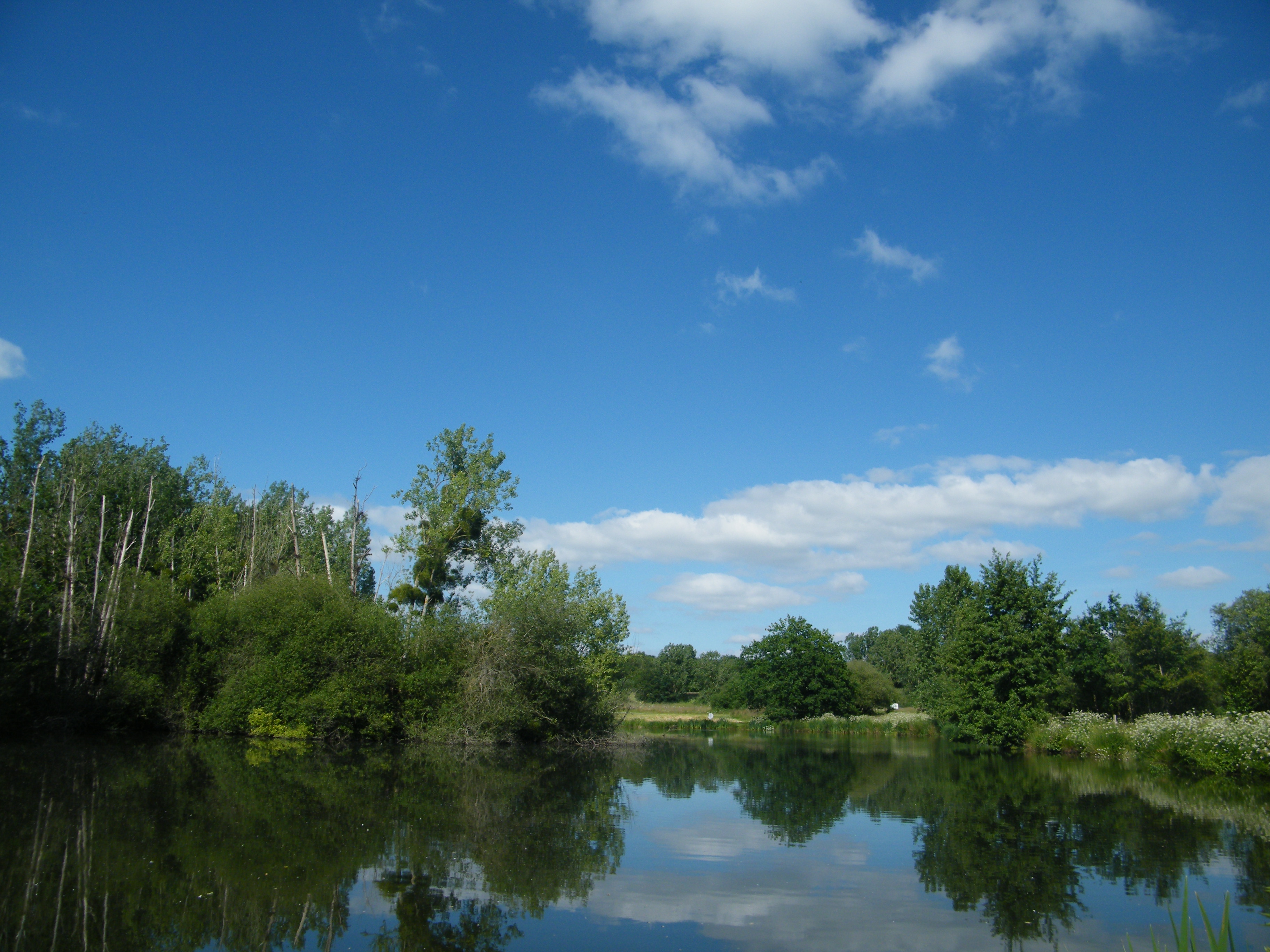
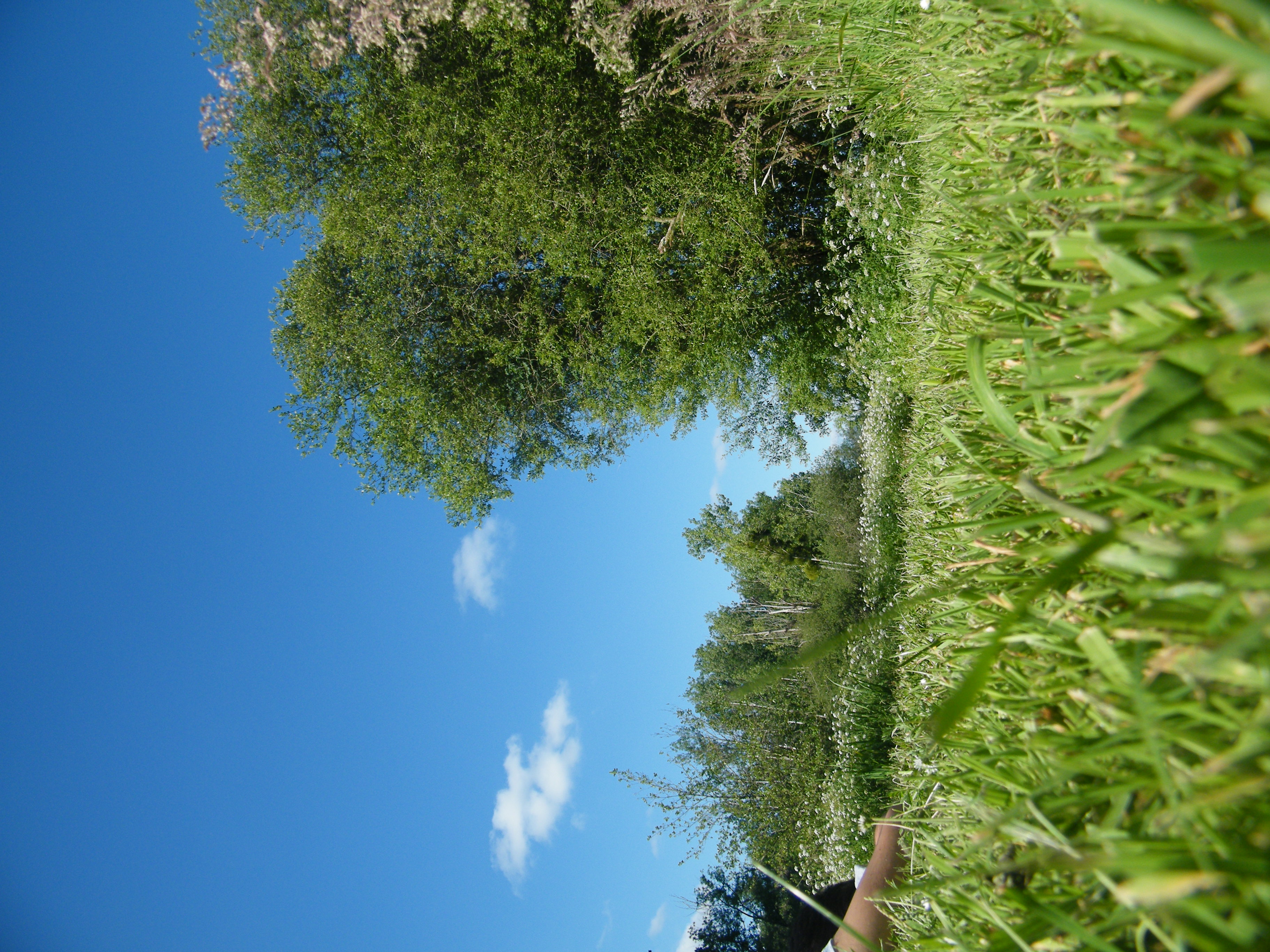
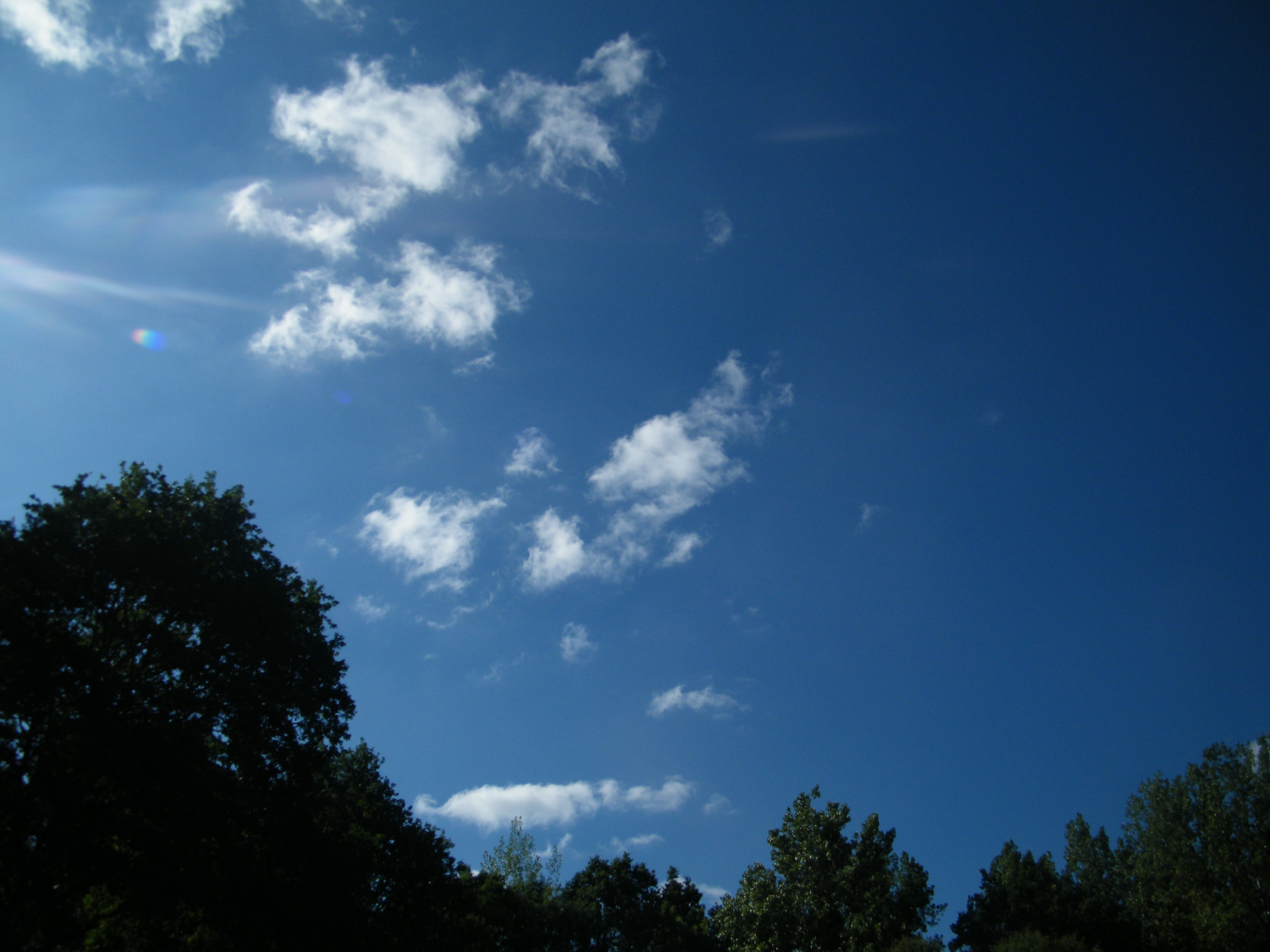
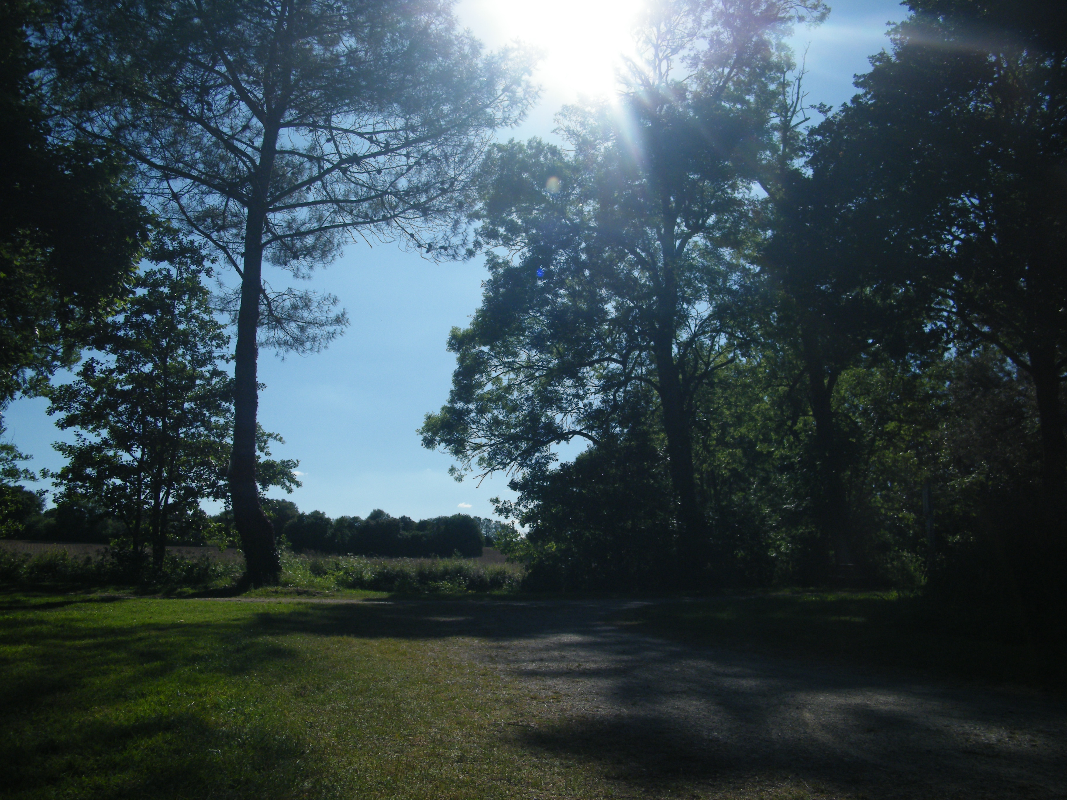
The Vilaine, from which my department’s name is derived, is its mouth. The river Seiche flows into the Vilaine some 20 kilometers downstream from where me and some friends spent a lovely little hour and a half taking in the sun, surveying the area for OpenStreetMap, and taking photographs.
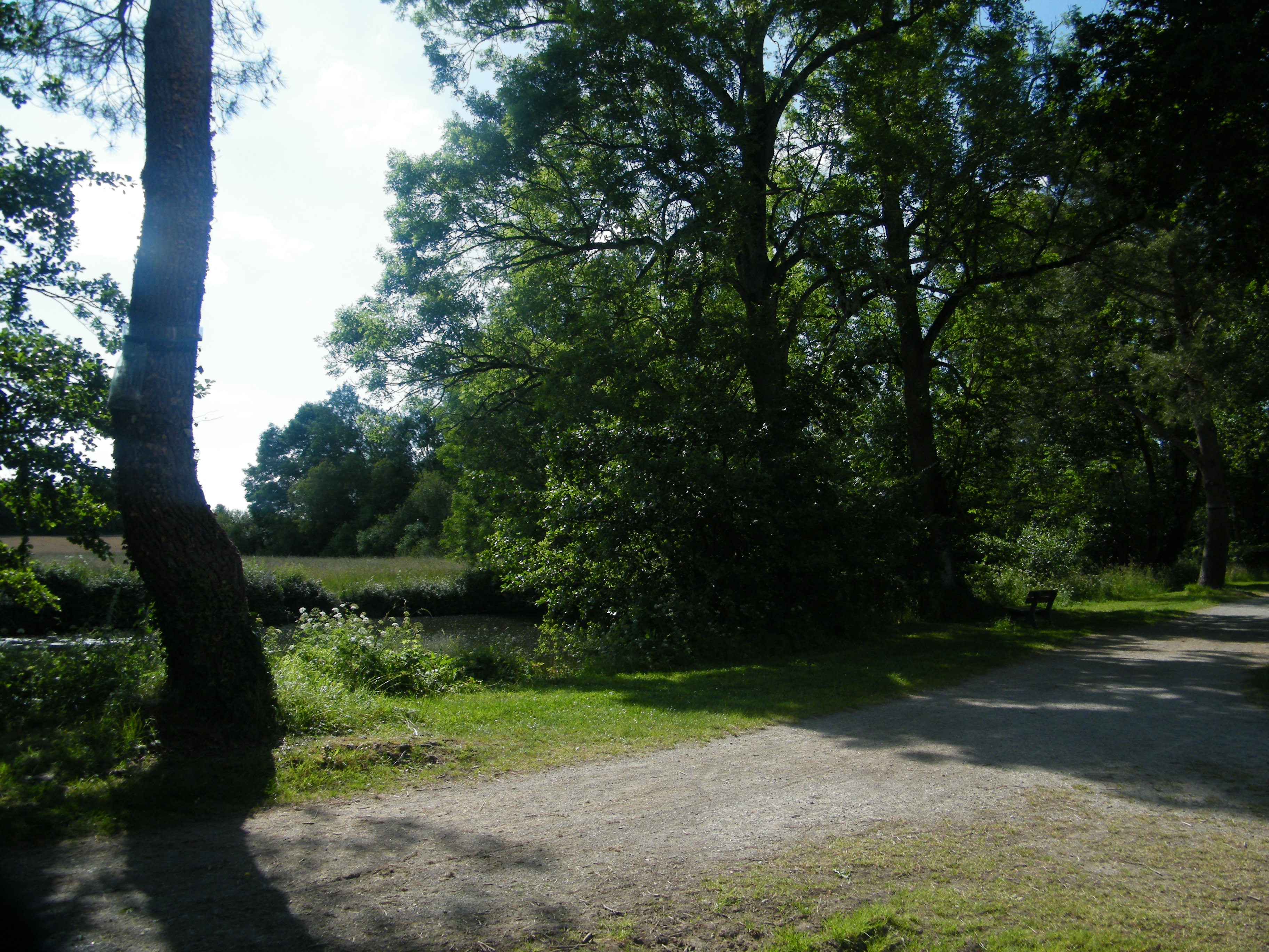
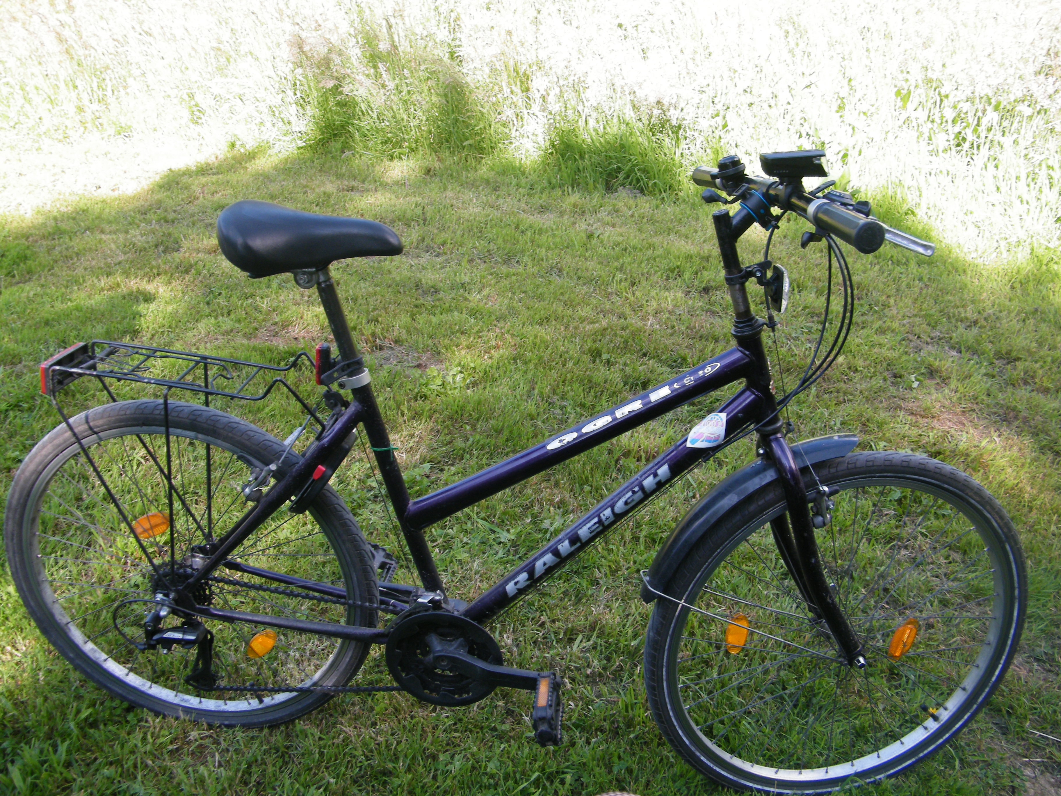
Speaking of photographs, just below is the dump of what I ended up exporting. Enjoy!